
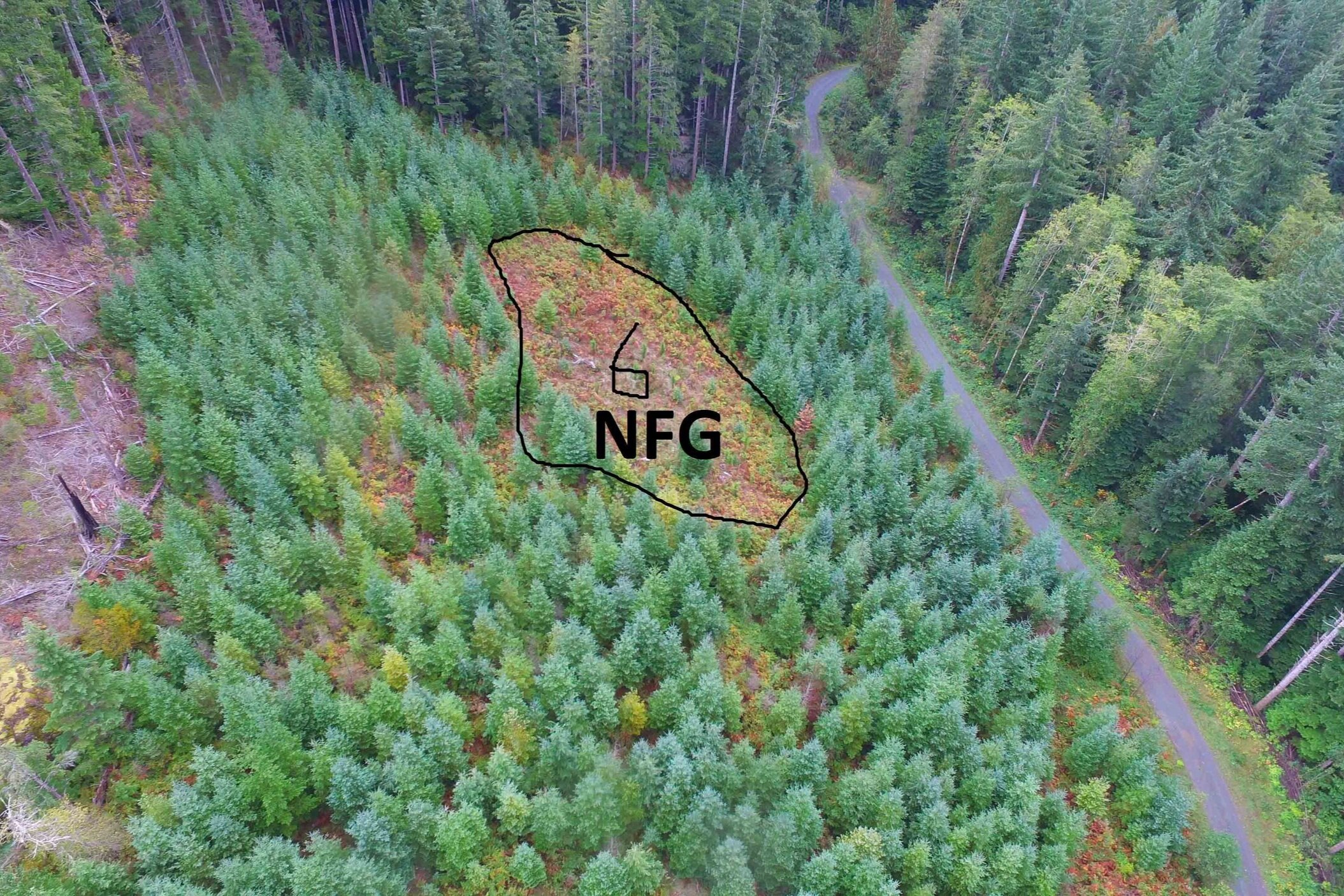
Free to Grow Surveys
FG surveying can be dangerous due to dense brush, steep ground, and decaying slash. Flying over the hazards to examine the trees is not only safer, but cheaper and time efficient. Our UAVs have a camera that operates on a 3 axis gimbal and can spin a 360 rotation. This allows us to capture imagery from various angles and heights to determine if a block has reached free growing status. Watch our video to learn more about it and see sample footage.
Time Savings
Using SuavAir as a contractor allows company foresters to focus their time on other job duties and responsibilities. However, any questionable areas or tough calls can still be reviewed through our high resolution by the company forester. The imagery can be reviewed from the office, reducing the amount of travel time to the bush. We understand that our clients have busy work schedules and we work to maximize their productivity.
Cost Reduction
One of the most attractive features of our service is the lower costs due to greater production than traditional silviculture surveying. Based on financial data from our 2015 to 2018 survey programs, we reduced our client’s costs by 25-50% through our innovative survey techniques.
Improved Safety
Slips, trips, and falls are the leading cause of injury to foresters in BC. Injuries can result in lost time, WCB claims, and is detrimental to crew morale. We greatly reduce the amount of exposure by flying over hazards. We are proud to have no injuries or first aid incidents since implementing the UAV technology in 2014.

Better Decision Making
All imagery is high definition and gives a look at the entire cutblock, not just a small sample (plots). The imagery can be reviewed in the office with our clients or other foresters to determine the best management decision by understanding the whole picture.
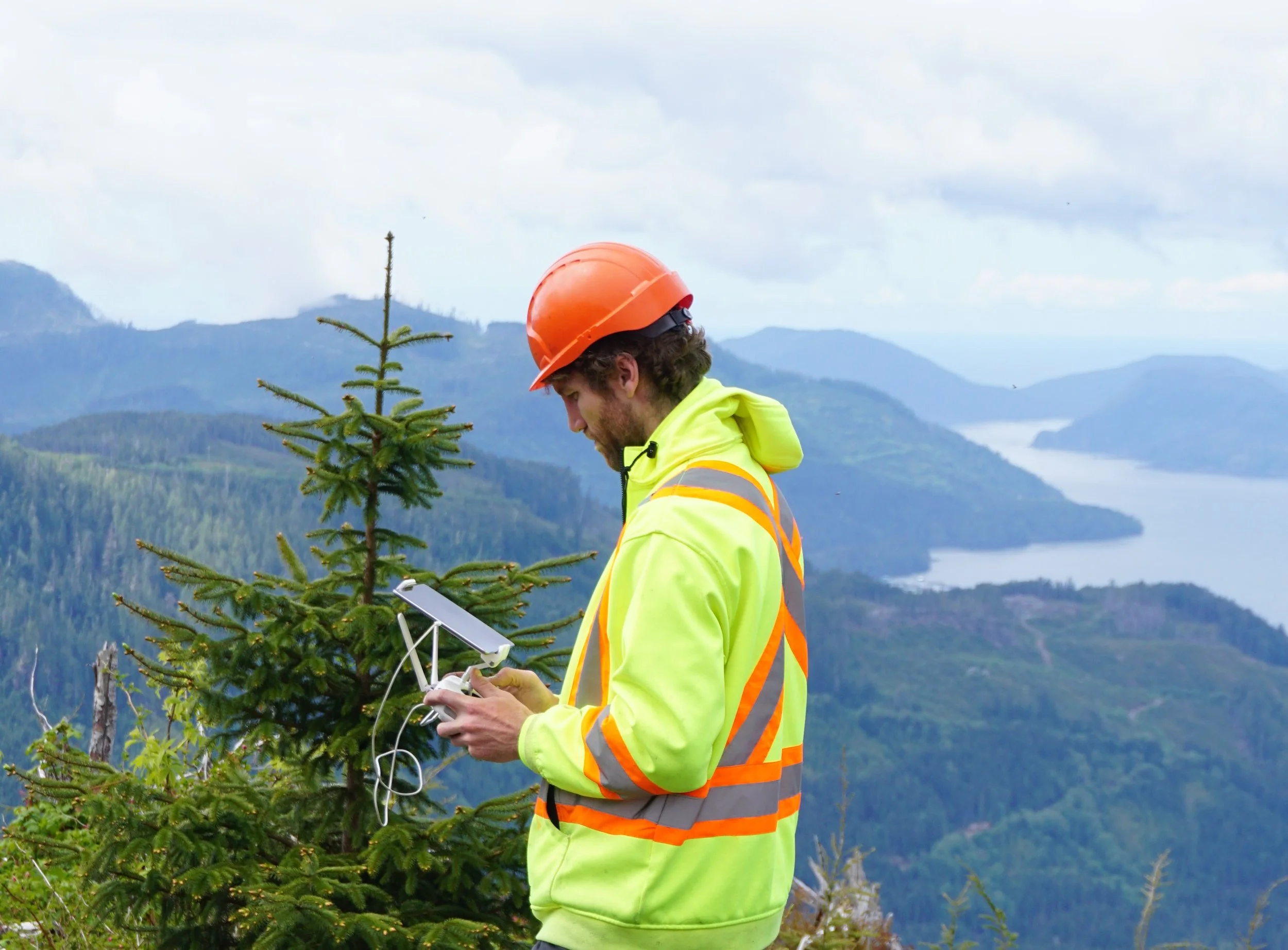
RPF / SAS Pilots & Crews
The RPF or Silviculture Accredited Surveyor (SAS) who does the flights will also sign and stamp the declaration report that can be submitted to the MFLNRO. If an area can not be declared through ocular declaration, we will conduct a traditional ground survey through 1 plot/hectare with our on-site crews. This ensures a decision is reached for the client.
Quality
Density can be estimated using a nadir (straight down) camera angle
Crop tree and brush heights can be estimated using an oblique (side view) camera angle
RPFs are on site to check for forest health issues and collect data through physical measurements
Safety
Slips, trips, and falls are the leading cause of injuries
Our UAVs significantly reduce and/or eliminate the need to walk through slash
Less caulk time = Less risk of injury = Improved safety
Cost Efficiency
Higher production compared to traditional ground methods and lower cost per hectare
Imagery can be used to show due diligence in the event of an audit, reducing the risk of re-surveying
Reduces the direct and indirect safety liability compared to traditional ground methods
Our trained pilots are also RPFs and Silviculture Accredited Surveyors (SAS). We use the UAVs as a tool for assessments, yet we will investigate issues on the ground as we see them. Making the right decisions by having the best data is the foundation for good forest management.