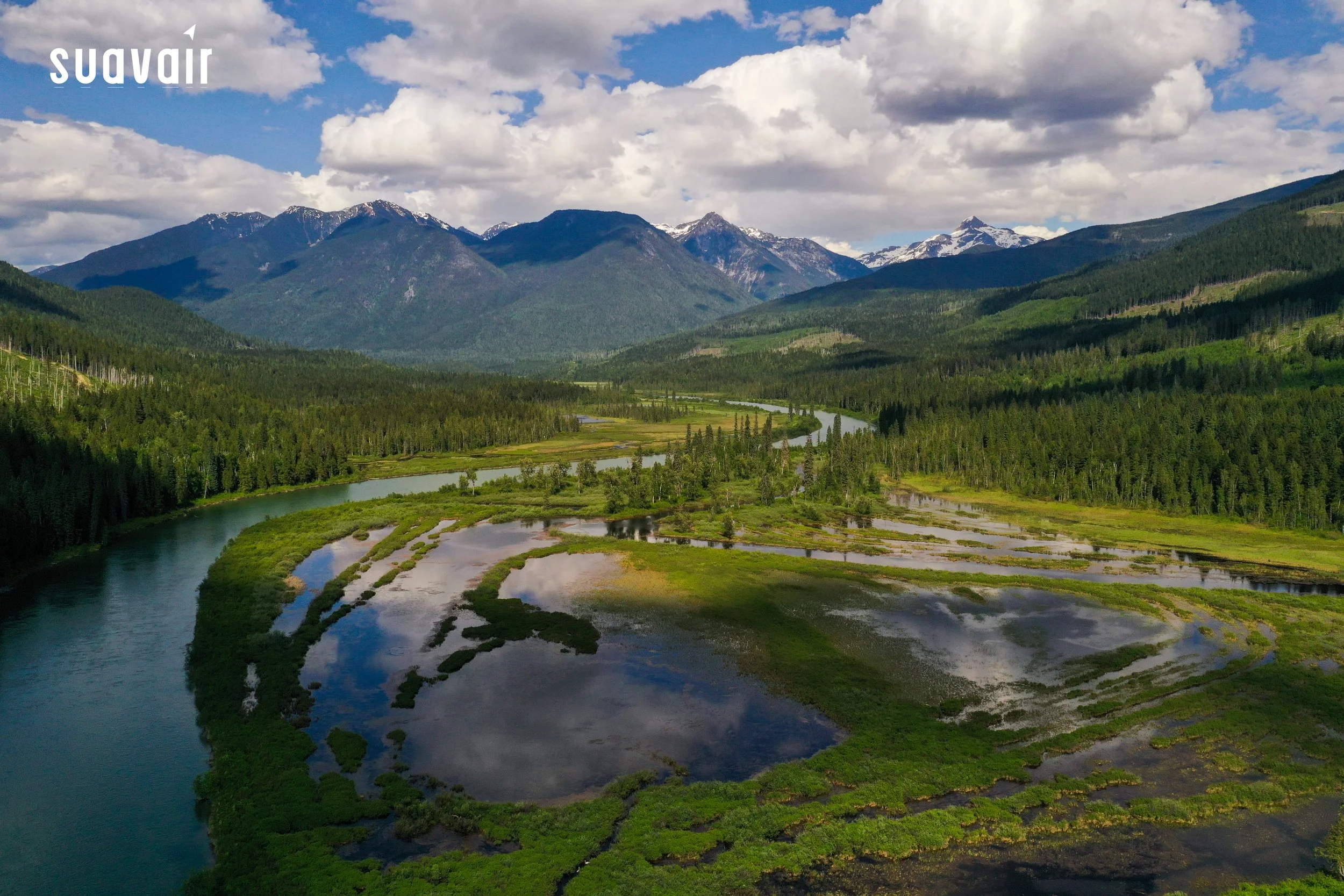
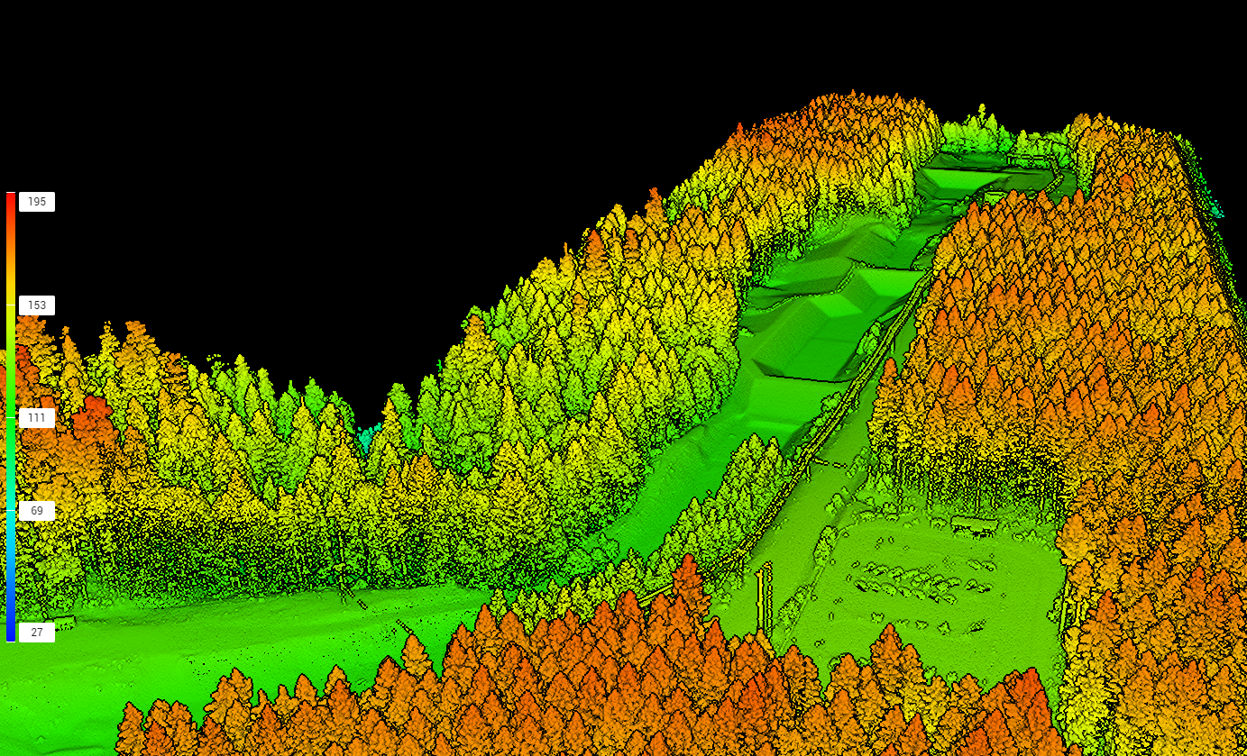
suavair-arrow.jpg


EST. 2014 

Established in 2014, SuavAir Aerial Imaging uses emerging drone technology to provide imagery and data driven results that are more accurate, safe, and affordable than traditional industrial processes.  With our aerial photography, we specialize in gravel and mining volumetrics, environmental mapping and monitoring, confined space inspections and services tailored to the forest industry.


Services


Forest Services

SuavAir was founded as a means to deliver safer silviculture surveys.  Since 2014 we have expanded our services to include post harvest inspections, incident investigations, visual impact assessments, residual standing retention, and actual vs projected harvest boundaries.

forestry-clients.jpg
FG Survey (2).jpg

Volumetrics

SuavAir has worked with gravel pits, mines and landfills to produce accurate volume measurements with a quick (24-48 hour) turnaround time.  We’ve measured volumes for inventory and billing, slope angles for safety and pit decommissioning. Using both visual cameras and LiDAR sensors, we can produce highly accurate volumetrics

volumetrics-clients.jpg
3D Model.JPG

Mapping

SuavAir can produce survey grade georeferenced maps for a variety of different scenarios and use cases.  We’ve mapped areas that are less than a hectare and as large as a thousand hectares. Othomosaic and elevation maps can be used for environmental monitoring, industrial safety planning (mills), post harvest inspections, or incident investigations.

Mapping Clients.png

Industrial Inspections

SuavAir has the technical equipment and techniques to perform industrial inspections both in open airspace and GPS denied environments such as underground or inside structures. RPAS technology allows for safe and efficient inspection of critical infrastructure and assets, reducing downtime and costs. SuavAir is able to reduce or even eliminating the need for people to enter hazardous confined spaces. We have inspected barge holds, asphalt silos and hydro dam infrastructure.


Other Services

SuavAir is always open to providing solutions for challenging problems.  To date, some of our other services are environmental monitoring, real estate, construction site time lapse photography, UAV consulting, search and rescue, tourism, and incident investigations.

other-clients.jpg
Campbell River Wharf Pano-4 (1).jpg

SuavAir Gallery


Stay Connected

“SuavAir’s reports have always been accurate with good attention to detail. The imagery has allowed us to make better forest management decisions.”
— Carolina Silva RPF, Area Forester