
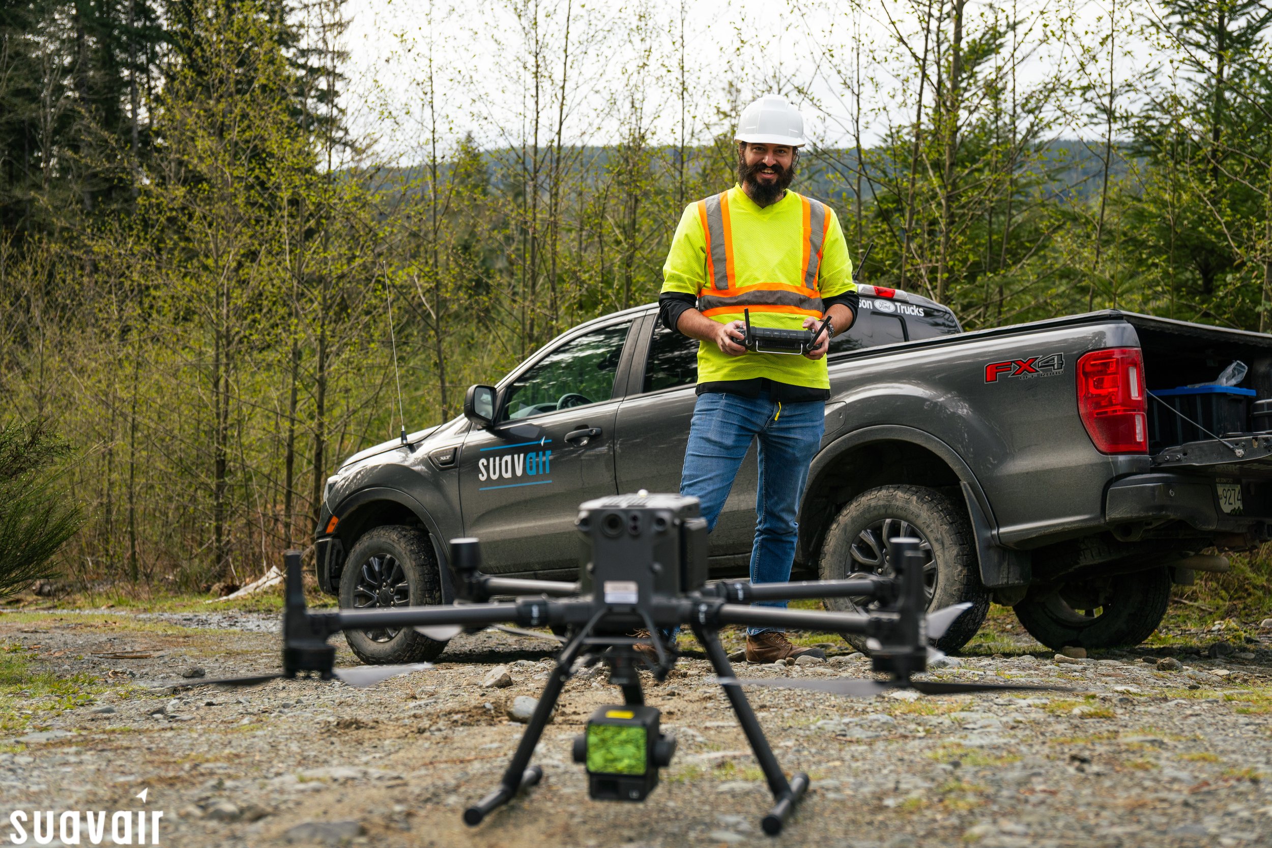
Mapping Surveys
Mapping surveys conducted with Remotely Piloted Aircraft Systems (RPAS) offer numerous advantages, including rapid data acquisition, high spatial resolution, cost-effectiveness, and accessibility to remote or hazardous areas. These surveys play a critical role in various industries and applications, contributing to improved spatial understanding, informed decision-making, and sustainable development. SuavAir employs multiple payloads such as high resolutiuon RGB cameras, thermal imaging and LiDAR sensors.
Browse below to see some of the mapping surveys we have conducted.

Ortho Maps

3D Models and LiDAR

Environmental Monitoring

Incident investigations

Industrial Safety