Industrial Safety Maps & Imagery
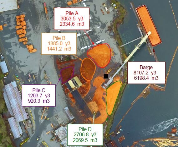
Having high resolution maps can help managers create safety and evacuation plans, as well as develop strategies to maximize production efficiencies on site. Managers can take 2D and 3D measurements to plan different inventory systems within the maps.
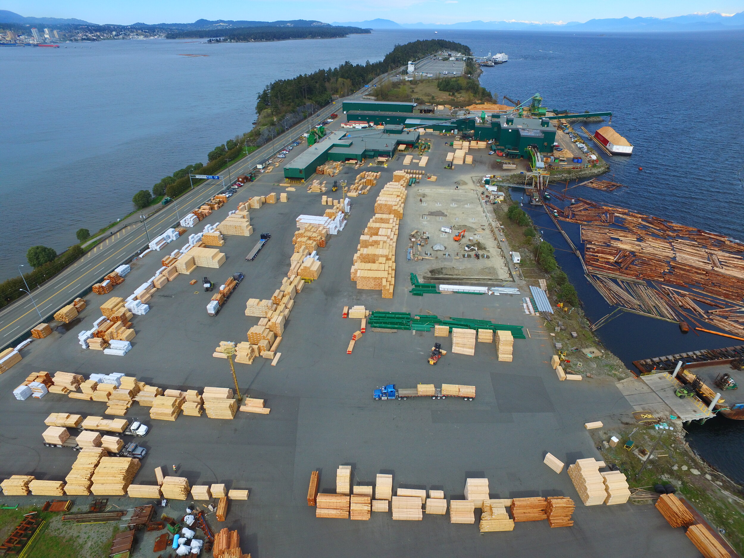
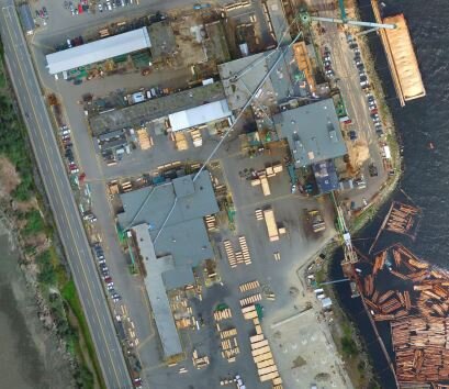
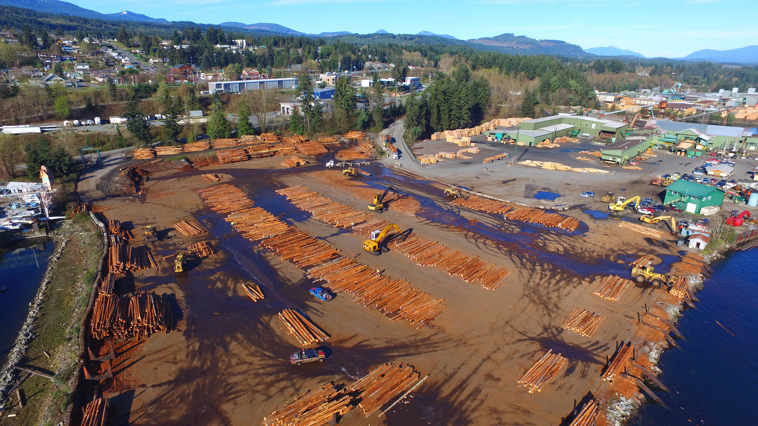
Western Forest Products Mills
Western Forest Products operates six mills on Vancouver Island. To improve the logistics and safety of the sites, they required overhead imagery. SuavAir flew all six sites and provided imagery that helped safety managers identify areas of improvement for worker safety. High resolution maps were used as a planning tool to improve work flows for higher production.
“The feedback from the managers has been very good as to the quality of the product. It has helped with traffic flow productivity and job safety breakdowns.” -Mark Haupt, Health and Safety Officer